I decided to go trekking in Nepal after meeting up with Yong & Saligram at World Mountain Treks booth in MATTA Fair this year. Yong showed me photos from his trip during the devastated earthquake in April and Saligram ensured everything's okay now and Nepal needs more tourists to come so that Nepal can rebuild her economy from tourism.
Kathmandu
I took AAX direct flight to Kathmandu. On approaching KTM I saw Himalayan Range from the window. It was an amazing view! The temperature was cold for me who came from tropical climate.
 |
| Saligram picked us up at the airport |
Pokhara
The next day we took bus ride to Pokhara. Pokhara located about 205 km to the west of Kathmandu. The journey took about 7 hours because of the narrow road. The good thing about these buses, they equipped with free Wi-Fi.
 |
| There were dozens of busses going to Pokhara |
 |
| Photos along the road |
 |
| Sight seeing in Pokhara |
Trekking
Day 1 - Pokhara - Nayapul (1011m) - Tikhedhunga (1516m)
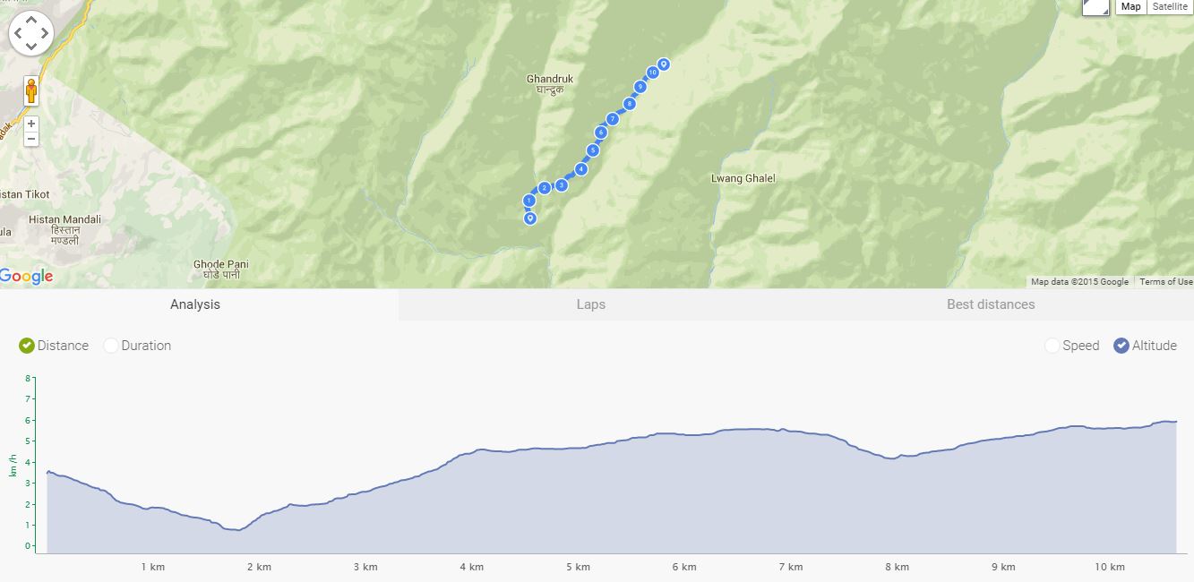
The journey started from the hotel in Pokhara, drive to Nayapul took about 40 minutes via highway (tarred road). Nayapul (1033m) is a small village located near the highway. First day is the easiest day. We walked about 9.2km with the first half way on gravel and the rest on trek. Total elevation gain about 592m to reach Tikhedhunga (1516m).
 |
| Ride from hotel to Nayapul |
 |
| At Nayapul until we crossed the tourist checkpoint |
 |
| The trekking has just begun |
 |
| Villagers around this area |
 |
| Vehicles can still be driven in this area |
 |
| The tea house we stayed at Thikedhunga which is run by the ex-Gurkha |
Day 2 - Tikhedhunga (1516m) - Ghorepani (2874m) - Poon Hill (3210m)
Today we walked slightly longer about 10.8km. From Tikhedhunga (1515m) to Ghorepani (2874m). The first 3km was the killer, very steep climb. We gotta see the peak of the mountain on the trek and the best view of mountains when we reach Ghorepani. There were mossy forest along the trek. Total elevation gain about 1432m.
 |
| Feel like in Swiss Alps |
 |
| We came across 2 kids playing with icy cool water |
 |
| Stunning view in front of tea house |
Since we trekked very fast to Ghorepani on second day, we decided to climb up Poon Hill for sunset instead of going there for sunrise the next day. Poon Hill (3210m) only 1.5km from Ghorepani (2890m) with elevation 320m climb and it took us around 45 minutes. I think this is the best view of all places we went to in this trip. It would be shame if you go to ABC but don't go to Poon Hill.
 |
| It took another 55 minutes climb to Poon Hill |
 |
| The photo like in a studio |
 |
| Jump up!! |
 |
| Stunning view from Poon Hill (3210m) |
 |
| It is almost sunset and the mountains turn red |
 |
| 3 of me in the one photo, terrer tak? |
 |
| Lucky us we catch up with the sunset |
 |
| Sunset panoramic view |
 |
| Millions of stars |
 |
| Superb view at night |
Day 3 - Ghorepani (2874m) - Gurung Hill (3200m) - Tadapani (2650m)
The first 3km we climbed Gurung Hill (3200m) almost as high as Poon Hill. We could see Poon Hill on the other side. View from Gurung Hill was awesome! We could see Mt. Annapurna South & Mt. Fishtail clearly from up here. After Gurung Hill we going down and down and down for 6km to below 2500m. That was about 700m descent. Then the last 1km we climbed up to reach Tadapani (2680m). Total distance was 10km with 834m total descent... sakit lutut wooo!!!
2494m
 |
| Climbing Gurung Hill |
 |
| Magnificent view from Gurung Hill (3200m) |
 |
| Tough betul la!! |
 |
Gurung Hill Panoramic View
|
 |
| On top of Gurung Hill |
Day 4 - Tadapani (2650m) - Chomrong (2170m)
Started at Tadapani (2685m) we went downhill 1908m to cross a river over suspension bridge. Then slowly climbed back to Chomrong (2170m). Total distance was 9.4km with total descent 900m and ascent 480m.
1905m
 |
| Morning view from Tadapani |
 |
| Great night view at Chomrong |
Day 5 - Chomrong (2170m) - Sinuwa (2340m) - Bamboo (2335m) - Dovan (2800m)
From Chomrong, we trekked down to 1881 meters elevation to cross the suspension bridge before climbing up and up to reach Sinuwa. From Sinuwa we actually could see Chomrong and on the other side we could see Dovan our tea house for the night.
 |
| Morning view of Mt. Annapurna South from Chomrong |
 |
| Going into the valley |
 |
| View from Siwai |
 |
| Everything becomes very expensive up here |
 |
| Machhapuchhre (Fishtail) view from Dovan |
Day 6 - Dovan (2800m)- Himalayan (2920m) - Deurali (3230m) - Machhapuchhre Base Camp (3700m)
The next day in Dovan, I didn't feel good. My body temperature increased like I'm having a fever. And my head was spinning. I think I had light AMS. My body unable to acclimatize at this altitude. But I still continue trek as planned.
 |
| Trek between Dovan and Himalayan |
 |
| Lunch break in Deurali |
 |
| Cloudy |
 |
| Mcm dlm Nat Geo |
 |
| Walking through bottom of the valley |
 |
| I was extremely sick when we reached MBC probably from AMS |
I guess overnight stay in MBC was the worst experience throughout the trip. It was very cold and all my fingers both hands and feet were very painful. Only after I slipped into sleeping bag, I feel better and can sleep well. It was so cold until the tap water got frozen.
 |
| MBC was bloody cold! |
Day 7 - Machhapuchhre Base Camp (3700m) - Annapurna Base Camp (4130m) - Dovan (2800m)
We woke up very early in the morning around 4am and get ready to hike up to ABC for the sunrise. It was an easy trekking 3km and mild elevation. We reached ABC in about one hour plus and had our breakfast at the guest house before photo session.
 |
| Victory shots |
 |
| Yessss.... we did it! |
 |
| 360 degrees of mountains view at ABC |
 |
| Fishtail in the background |
 |
| So majestic! |
 |
| Walking back to MBC |
 |
| Bye bye ABC! |
 |
| Crystal plants |
 |
| Enjoying a cup of tea overlooking Mt. Annapurna |
After getting some rest at MBC, we packed our bags and went down to Dovan in no time.
Day 8 - Dovan - Jhinu (1754m) - Hot Spring (1583m)
Trekking down to Jhinu we have to go through Chomrong. Climbing up Chomrong was tough. From Chomrong the track was very steep to Jhinu.
 |
| Dovan to Jhinu |
 |
| Passed through Sinuwa |
 |
| Climbing up to Chomrong |
 |
| Hot Spring |
After check-in at guesthouse in Jhinu, we trekked down for about 1km to Hot Spring near the big river for nice dip in hot water. Felt like going to onsen in Japan during winter.
Day 9 - Jhinu (1740m) - Nayapul (1019m) - Pokhara
Long walk but mostly flat. When I said flat, it's mountain flat. Total distance was 18.6km with nearly 981m descend and 272m ascend. Yes, some up and down the terrain.
 |
| These are paddy field on the slope |
 |
| Very high waterfall |
 |
| View along the trek |
Tour around Pokhara
Day 1 - Boating at Phewa Lake
 |
| Phewa Lake |
Day 2 - Davis Fall, Caving and Gurkha Memorial Museum
 |
| Davis Fall & Caving |
 |
| British Gurkha Memorial Museum. I bought a kukri here. |
Back to Kathmandu and flew back home
Last minute shopping before going back to KL. Thanks to Saligram for a wonderful experience in Nepal. We will definitely come back for EBC soon.


Comments